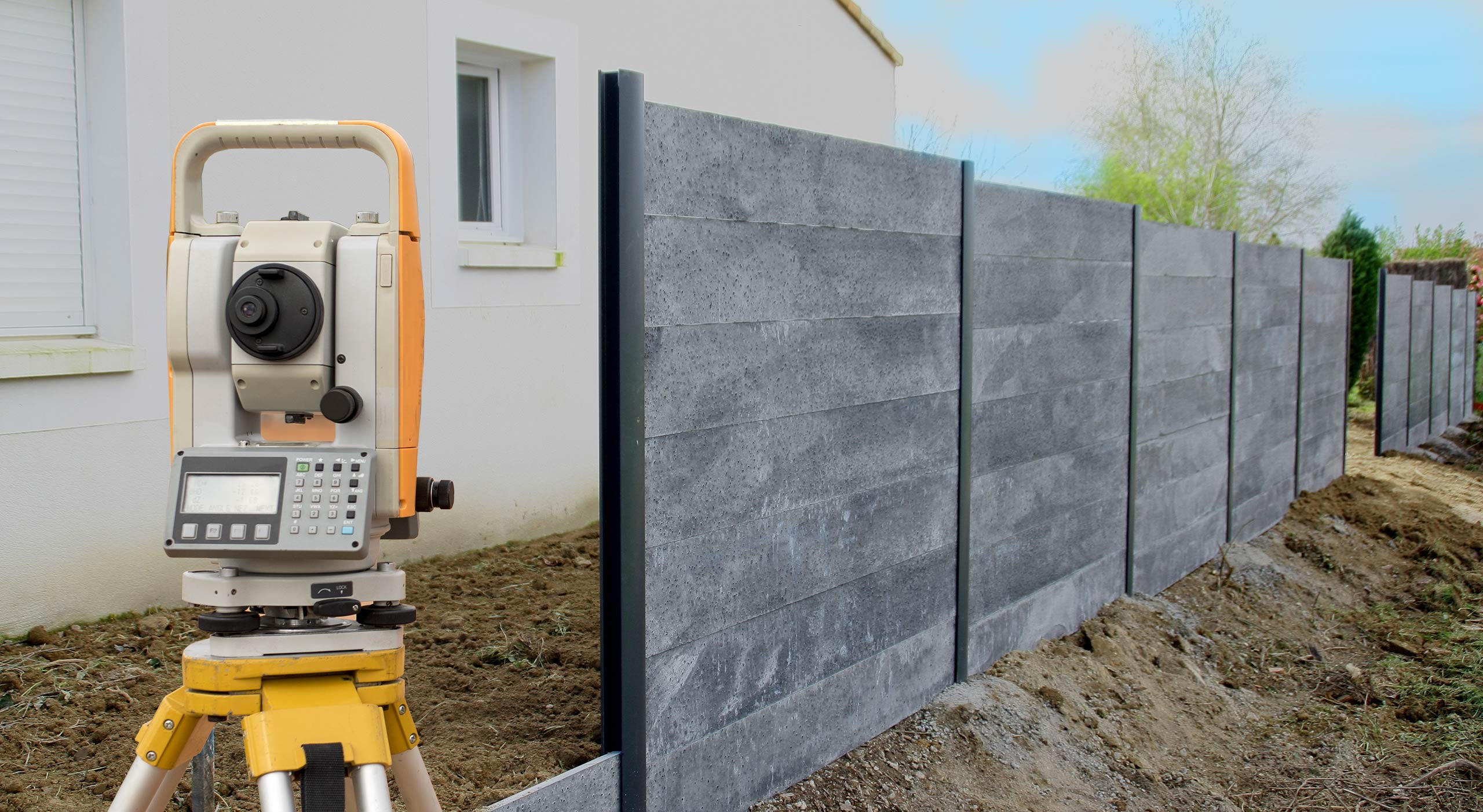
Boundary Surveying
We use our experience and expertise to:
- Define and mark the perimeters of your property
- Indicate boundary lines between your property and neighbors
- Indicate internal boundary lines if you own multiple joining properties
In order to make these accurate boundary judgements we:
- Utilize a variety of high-tech equipment
- Review your deed and those of surrounding properties
- Review other external factors: road alignments, shorelines, easements and other agreements and encumbrances
Our goal is to define the property lines so they are accurate and legally defensible.
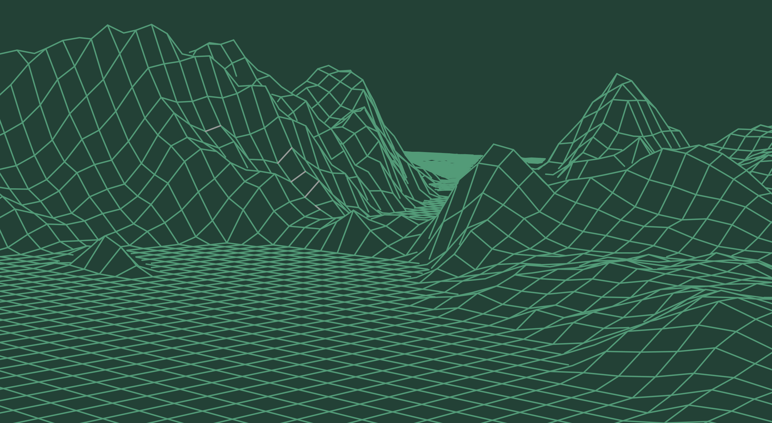
Topographic Mapping
Before you design or build on your property, you may need an accurate map of the existing conditions. We provide the base-map of your plan so you can optimize your plan to:
- Minimize costs of your project
- Maximize use of your land
Simply put, a topographic survey map shows:
- Ground contours (lay of the land)
- Physical improvements
- Natural conditions such as water and other critical areas
- Protected or desirous trees and landscaping
- Underground and overhead utilities
- Other key elements of a project
The 3D data we collect defines the site characteristics on a 2D site plan.